i4D - Virtual City Modeling
Project of MTA SZTAKI
Texturing a Lidar based mesh with satellite photos
Lidar data is highly appropriate for generating an accurate 3D mesh model of the city, up to the available resolution. For texturing the mesh, use of additional optical image sources is necessary. Since both the Lidar point clouds and the Pleiades satellite images are geo-referred, it is indeed possible to texture the 3D models with the obtained satellite images. This process makes possible an up-to-date 3D visualization of the data, so that the preliminary prepared city model is automatically shaded by the actual satellite views.
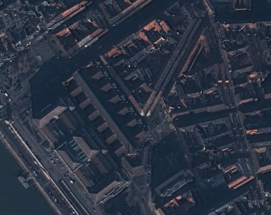
Figure. Textured mesh model of the Corvinus University Budapest, from various viewpoints