Virtual city reconstruction
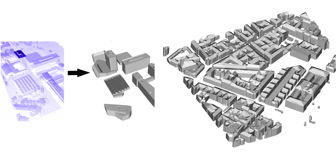
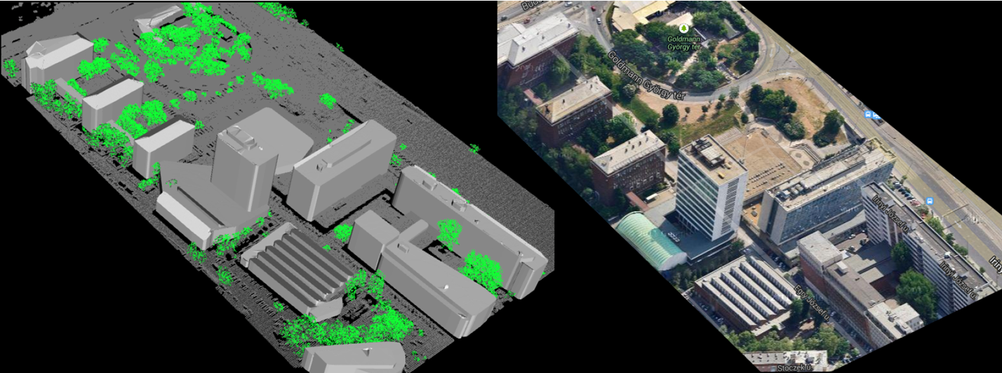
Virtual city model reconstruction based on aerial Lidar data
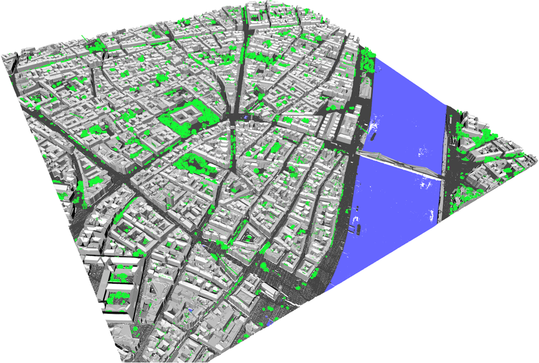
Virtual city model of Budapest downtown reconstructed from aerial Lidar measurements. The Great Market Hall's model is based on Velodyne scanning and photo based texturing.
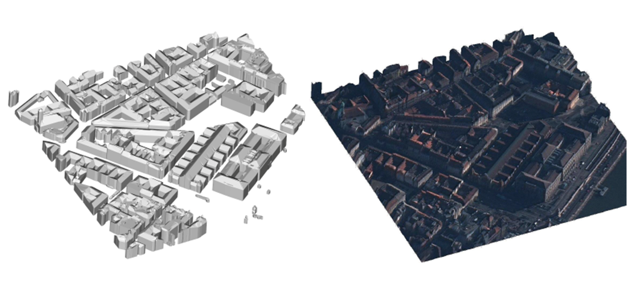
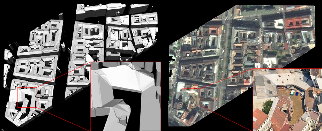
Gallery on various building reconstruction results
These results are outcomes of the DUSIREF project, funded by the Government of Hungary through a European Space Agency Contract under the Plan for European Cooperating States. For more technical information please contact Csaba Benedek.