GeoComp demos
Research Group on Geo-Information Computing (GeoComp)
Topcon data processing
Test data provided by Konsasoft Ltd.

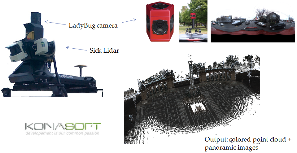
Topcon mobile mapping platform and measurement visualization: for details see the website of the Konasoft Ltd.

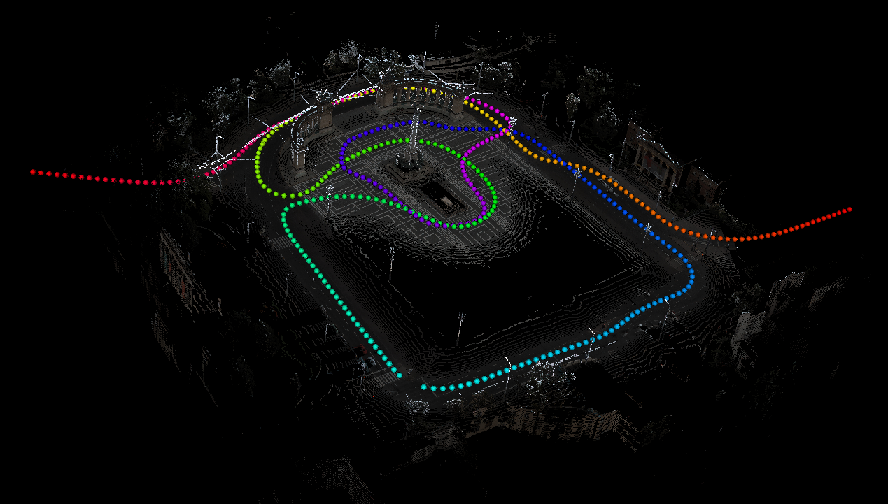
Heroes square pointcloud: points of Ladybug image capturing are displayed in the trajectory (measurements provided by Konasoft Ltd. )
Textured facade reconstruction
 Fig. A: Point cloud coloring according to the closest camera image. Measurements provided by Konasoft Ltd.
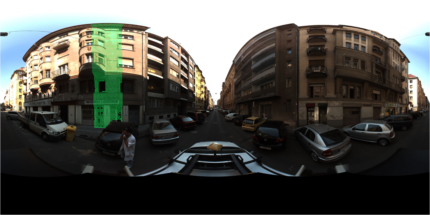
 Fig. B: Automated region selection for mesh texturing in a Ladybug image: filtering the image part which corresponds the selected facade region according to Fig. A.
 Fig. C: Textured facade by the ladybug sequence - following Fig. A and B. (demonstration without smoothing the borders of image selections)
3D distance measurement tool for Ladybug images
3D distance measurement on Ladybug panoramic images: distance measurement tool developed by DEVA SZTAKI 2013 (for the selected points coordinates and altitudes of are displayed)

Links
Geo-Information Computing @ Machine Perception Lab.
GeoComp Demos:
Contact
GeoComp Group leader: Dr. Csaba Benedek benedek.csaba@sztaki.hu
i4D project manager: Dr. Zsolt Jankó janko.zsolt@sztaki.hu
Head of MPLab: Prof. Tamás Szirányi
MPLab administration: Anikó Vágvölgyi
Address:
SZTAKIKende utca 13-17
H-1111 Budapest, Hungary Tel: +36 1 279 6194
Fax: +36 1 279 6292